Services
HYDROGEOLOGICAL SURVEY
A hydrogeological survey is an investigation of the hydrologic and geologic parameters at the subsurface level in a particular area.
Inside the ground are rocks that hold water in them. These are called aquifers. These aquifers are sometimes very deep or shallow in the ground. They sometimes also appear in chambers of rocks and are linked together by channels called fractures. They come in sizes as well. Therefore, without the proper survey, we can miss a good aquifer. We do a proper ground survey to locate where a good aquifer is and the depth at which to locate it, so we can give you enough water yield even during the dry season.


BOREHOLE CAMERA INSPECTION
We have advanced camera systems for every application and terrain. Stand-alone cameras, lighting equipment, winches, reels and accessories.
Our Downhole video inspection camera is an important asset to provide direct live video coverage of your borehole. The rotary technique helps in viewing the entire section (360°) of the borehole wall including the fractures, depth, water level and many more. The inspection camera provide vital evidence in determining the condition of a borehole as well as the nature and extent of any problems.
MUD ROTARY DRILLING
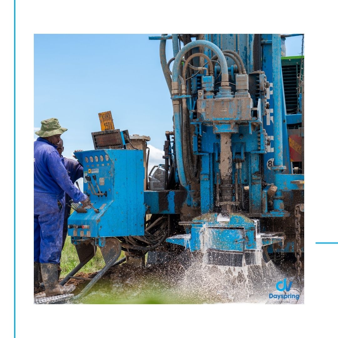
Mud rotary drilling is an open hole, fluid based recirculatory method of drilling
Mud Rotary Drilling is used to aid the cuttings out of the borehole. This method has the ability to drill through unconsolidated ground formations and achieve good hole stability.


